Kenichiro Kobayashi
Received 2 October, 2025
Accepted 24 November, 2025
Published online 26 March, 2026
Kenichiro Kobayashi1)
1) Graduate School of Science and Engineering, Saitama University, Japan
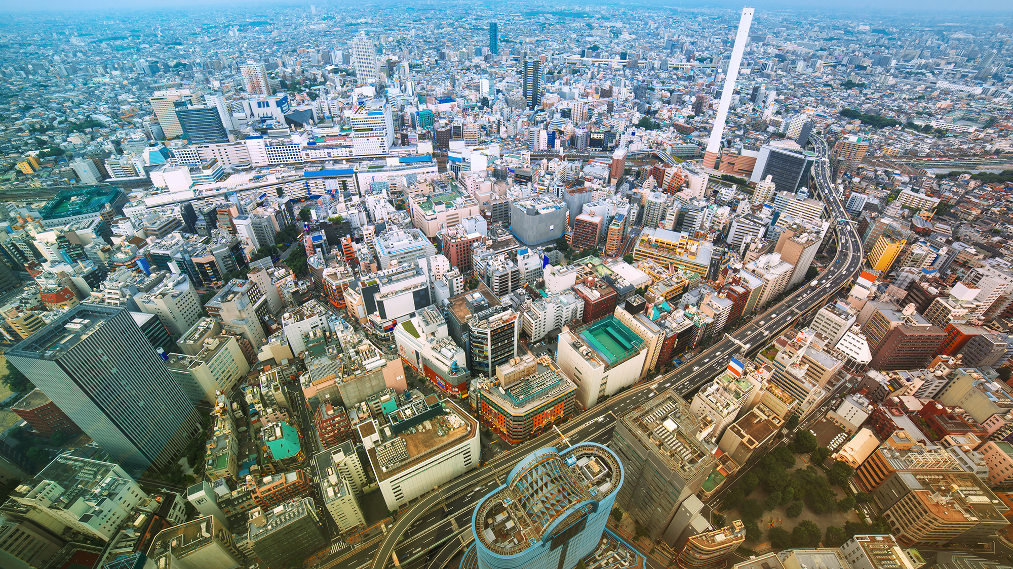
This study presents a simulation of the entire Tokyo metropolitan area using a shallow water equation and a supercomputer. All input data were open-source: elevation from the Geospatial Information Authority with a 5-meter resolution, building data from the MLIT’s PLATEAU, 1-minute precipitation data from the Tokyo Metropolitan Government, and administrative boundary from the Digital National Land Information. As satellite and aerial LiDAR surveys enable elevation datasets with sub-meter resolution, more detailed flood simulations are requested to maintain appropriate spatial balance. In large-scale simulations, physically modeling every aspect of stormwater infrastructure such as sewer systems, underground reservoirs, subways and subterranean commercial areas is inherently limited. Therefore, the assessment of drainage system impacts was carried out using sensitivity analysis which was verified using recorded water level data after the major pluvial flooding of Tokyo City University. The sensitivity analysis method yielded reasonable results regarding this rainfall. The real world is a continuous space that includes drainage infrastructure, so it’s incorrect to assume that flood simulations at 100-meter resolution are more accurate than those at 5-meter resolution simply because sewer systems are modelled. To ensure simulation fidelity, it is necessary to assess accuracy from both the standpoint of spatial resolution and sewer system representation.
Copyright (c) 2026 The Author(s) CC-BY 4.0